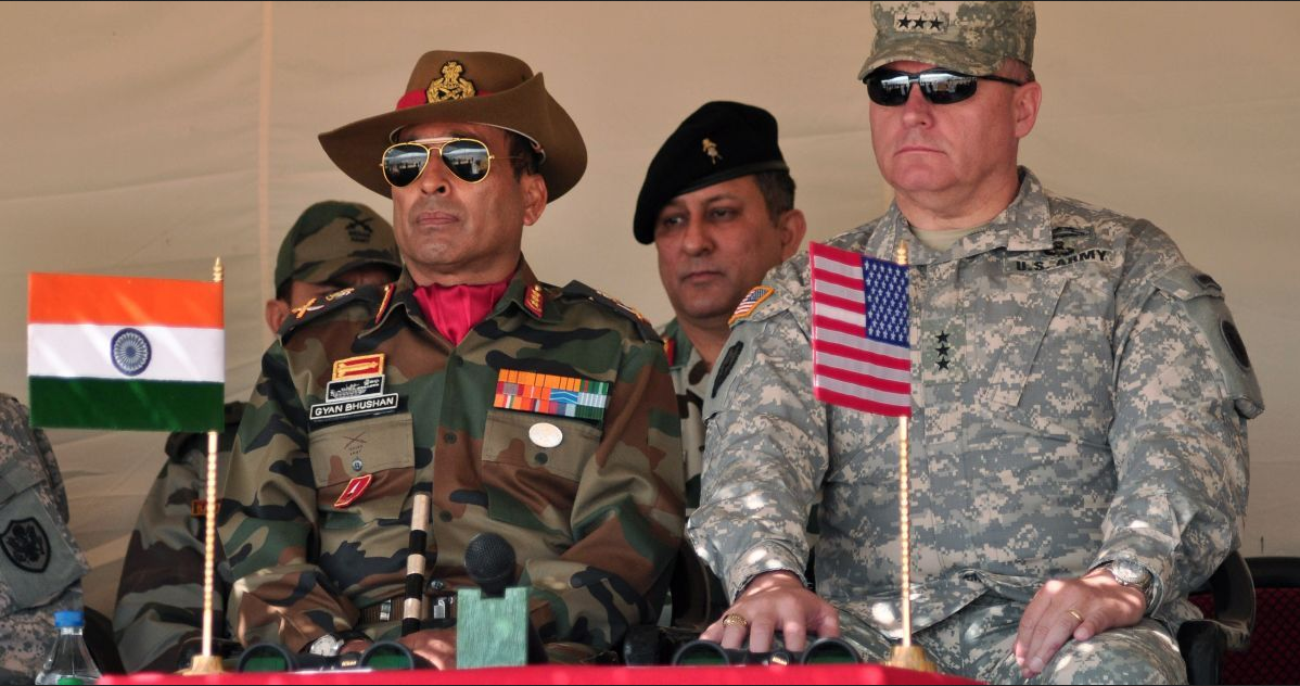
The United States will take part in joint military exercises with India less than 100 kilometers from the South Asian country’s disputed border with China. The drills will be held in mid-October at an altitude of 10,000 feet in Auli in the Indian state of Uttarakhand and will focus on high-altitude warfare training, according to a senior Indian Army officer with knowledge of the matter. Auli is about 95 kilometers from the Line of Actual Control (LAC), an inhospitable piece of land where the disputed border between India and China is roughly demarcated.
Sino-Indian relations, strained since a deadly clash between their armies in the Himalayas in June 2020 and further aggravated by China’s building of a bridge over the Pangong Tso lake on the border, were further upset by a visit to India by the United States Pacific Commanding General, who described China’s build-up as “alarming.”
One aspect of this effort involves weekly activities focused on enhancing regional security and interdependence, including the annual Yudh Abhyas exercise.
Line of Actual Control
The Line of Actual Control, the loosely-defined, de-facto border between India and China, originated from the Sino-Indian border war of 1962, which was triggered by long-running historical territorial conflicts. Its exact location may be unclear, and even China and India continue to disagree as to the precise points on which each country ends and the other begins.
If a military provocation between India and China occurs, the consequences could be grave. Both countries have nuclear weapons. Border tensions escalated between the two countries after soldiers fought with fists, stones, and nail-studded bamboo poles in a bloody brawl that killed at least 20 Indian soldiers in June 2020 in the Galwan Valley, close to Aksai Chin, an area controlled by China but claimed by both countries. Though tensions have since eased, both sides maintain a large troop presence in the border region, raising the risk of potential miscalculation in the event of sudden clashes.


